Filter
118
Featured
6
93
Language
Document type
117
1
Countries
61
58
43
20
4
3
2
2
2
2
1
1
Authors & Publishers
Publication Years
Category
4
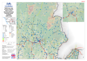
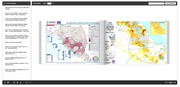
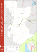
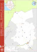
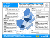
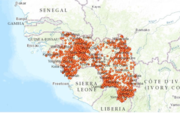
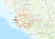
Please find the latest maps on the website http://mapcatalog.ocharowca.info/ebola/
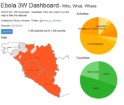
Please find the latest interactive infographic on the websitehttp://www.humanitarianresponse.info/fr/operations/west-and-central-africa/infographies-interactives. Click any chart or on the map to filter the data set
HDX Datasets for Ebola
recommended
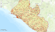
Please find here the latest maps, excel sheets or data sets https://data.hdx.rwlabs.org/dataset?q=ebola
On 23 March 2014 WHO’s African Regional Office reported an outbreak of Ebola virus disease in Guinea. Since then cases have been reported in 5 additional West African countries. This interactive timeline links to key events, stories and further reading. Go to the website http://www.who.int/feature
...
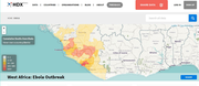
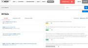
A new Ebola crisis page that provides an overview of the data available in HDX. The page includes an interactive map of the worst-affected countries, the top-line figures for the crisis, a graph of cumulative Ebola cases and deaths, and over 40 datasets. Go to the website link https://data.hdx.rwlab
...
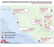
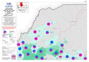
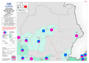
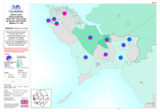
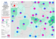
Snapshot of MSF Ebola medical activities in Guinea, Liberia and Sierra Leone
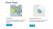
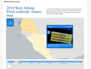
Now available in an interactive map journal that shows the evolution of the outbreak and the global response. Please download the latest version from the website
http://apps.who.int/ebola/en/current-situation/ebola-maps